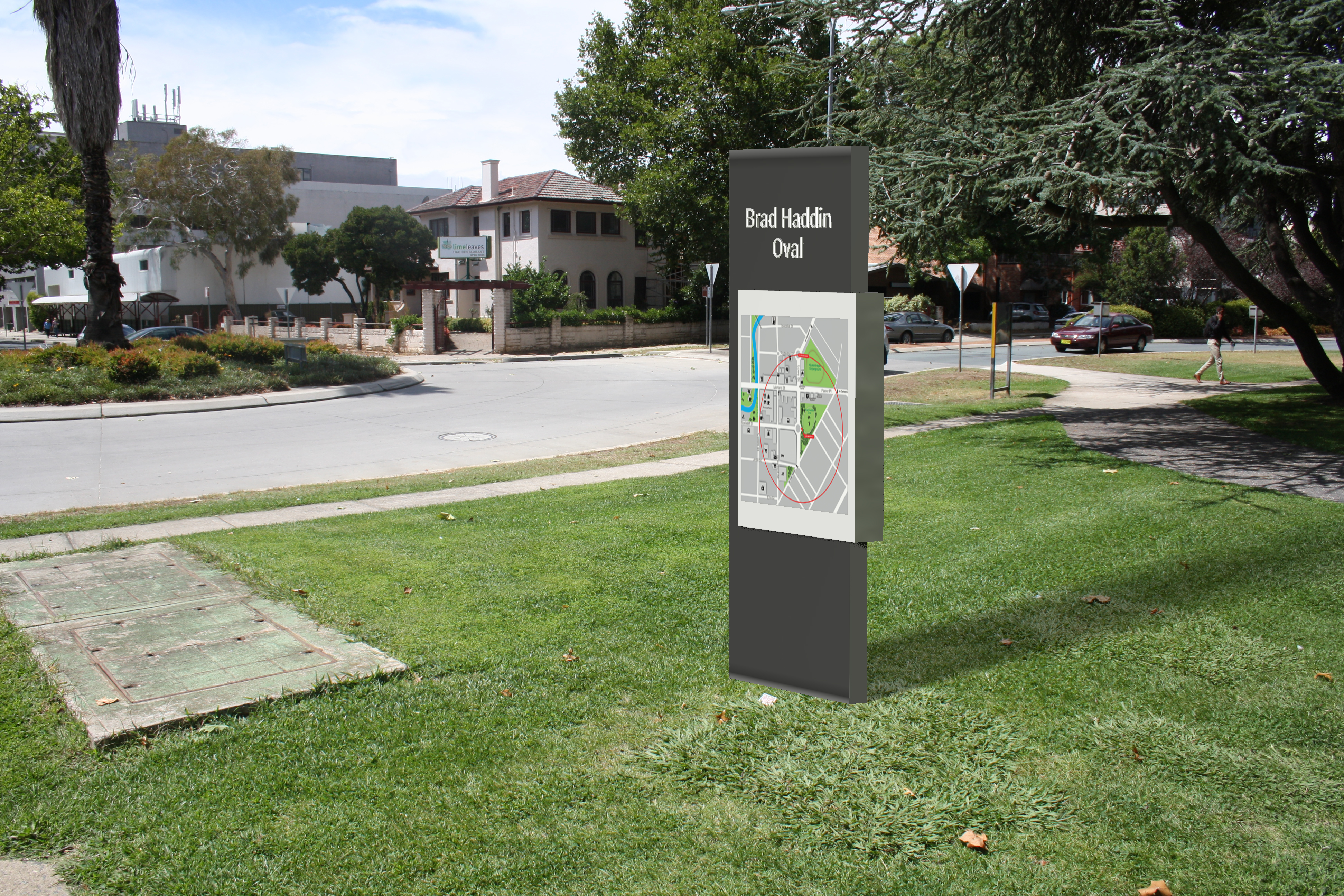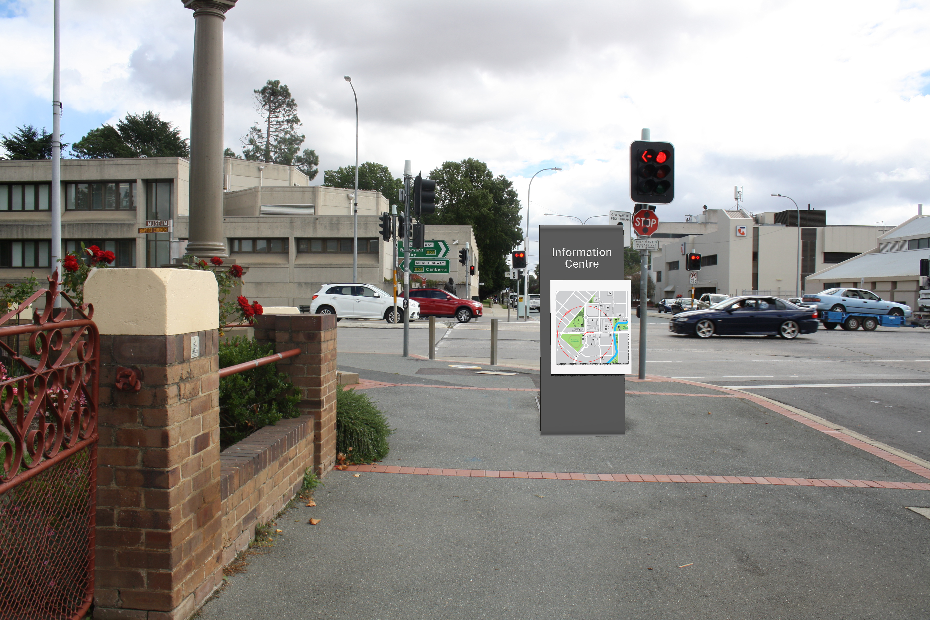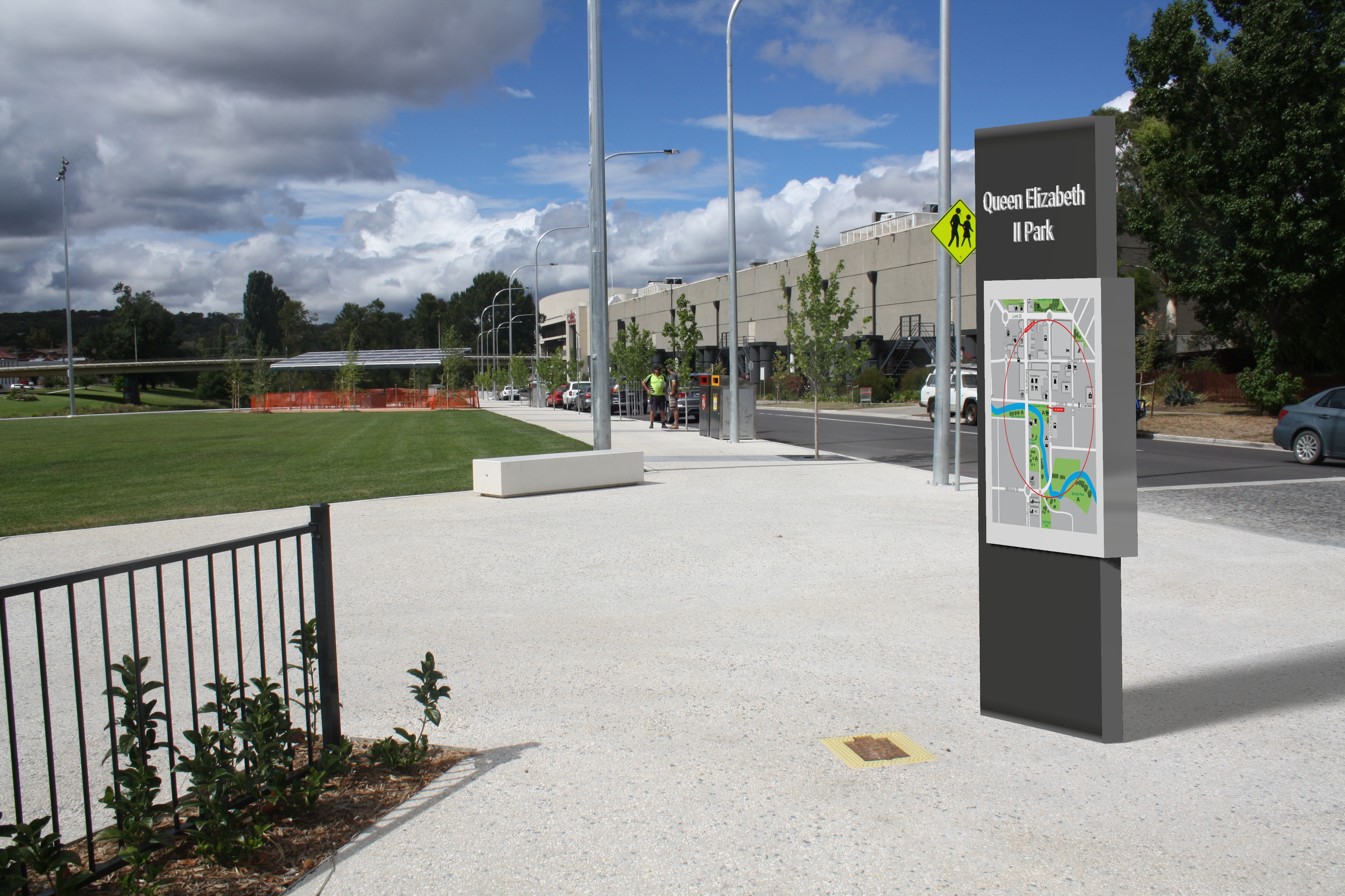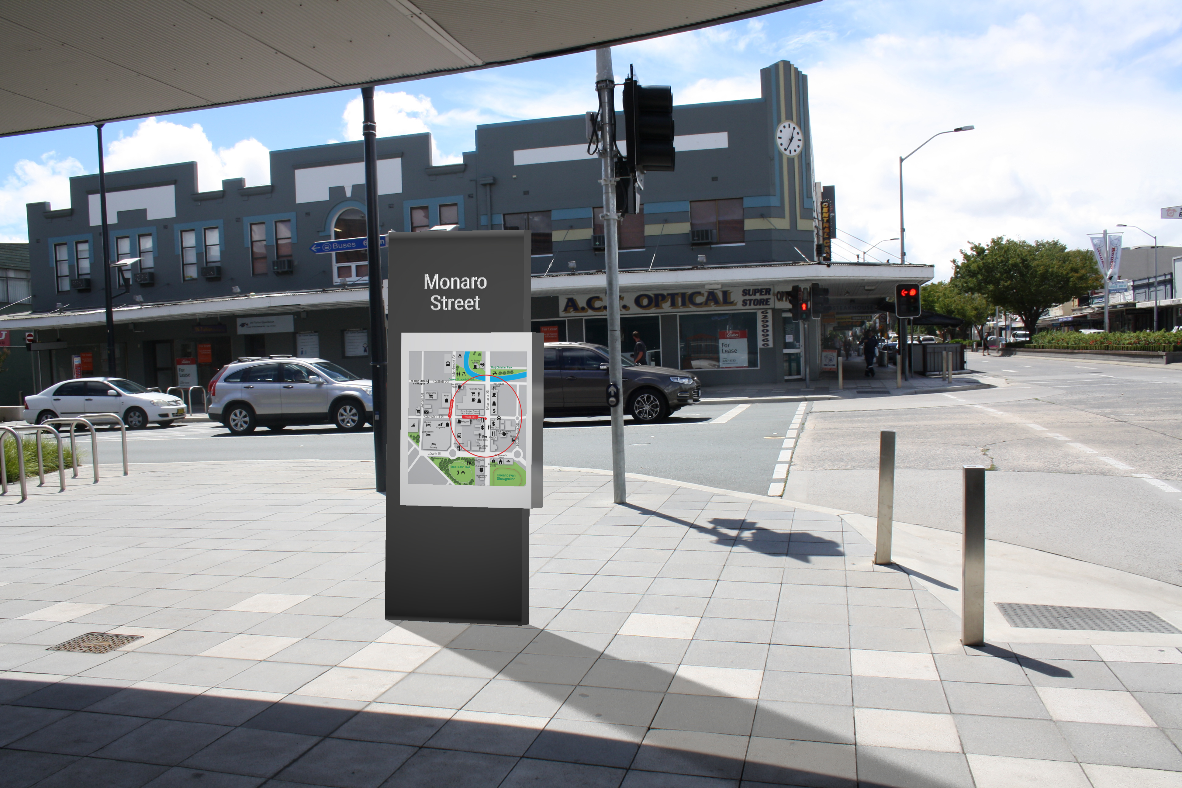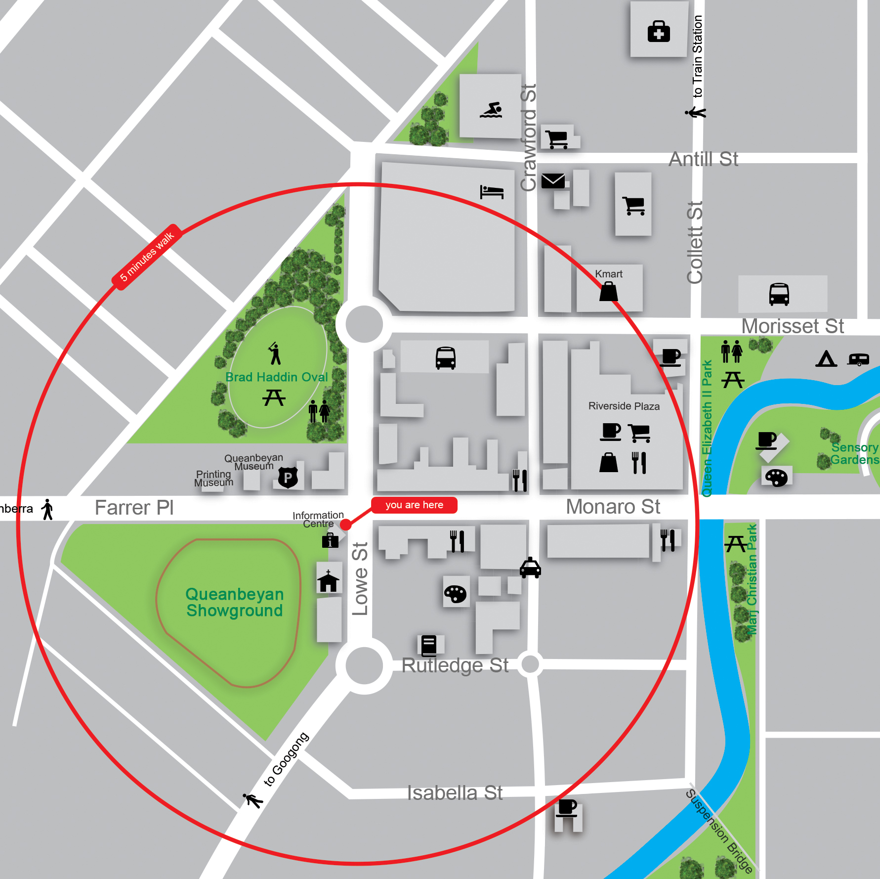
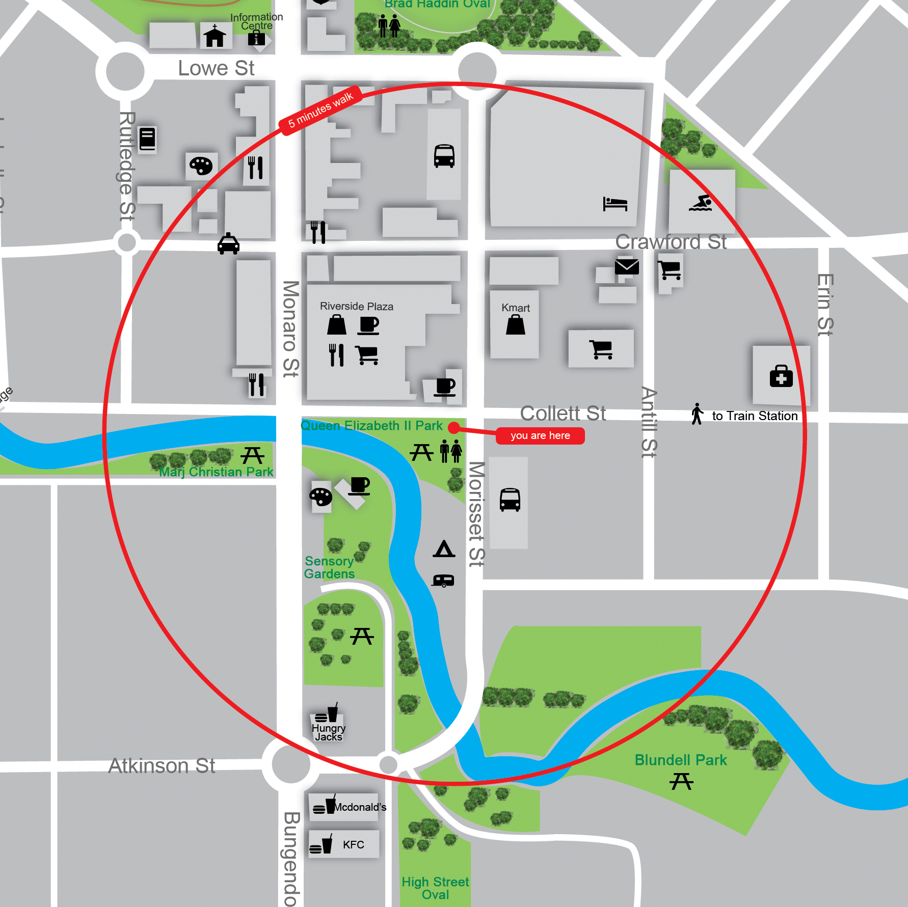
For this project I had to develop a solution to a wayfinding problem that I had identified.
Problem: Queanbeyan is a small town located on the border of the Australian Capital Territory (ACT). It was founded in 1838 and today has over 37,991 occupants. Throughout the years there have been continual improvements in the town, however, as of today there is still no evidence of a clear wayfinding system. There is a mixture of old and new signage around the town but most consist purely for persons travelling via car.
The existing pedestrian wayfinding system consists of handheld maps that can be found in the information centre located near the centre of town and a few scattered signs around town. As can been seen in the image to the right, the maps seen around town are not ‘people friendly’. They are small, hard to read and complicated especially for those who have trouble with maps in general.